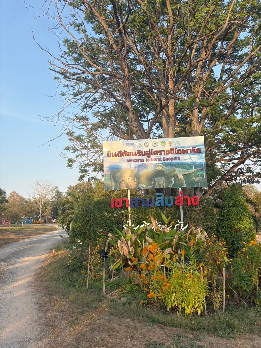
Korat Pushes "Khao Sam Sip Sang"
as a New Geopark Destination and Global Learning Hub
The surreal landscapes and hundreds of mysterious depressions scattered across the ridges of Khao Sam Sip Sang are natural wonders that have been in the making for over a hundred million years.
In the local Isan dialect, these pits are known as "Khod" or "Sang," while in geological terms, they are classified as "Potholes."
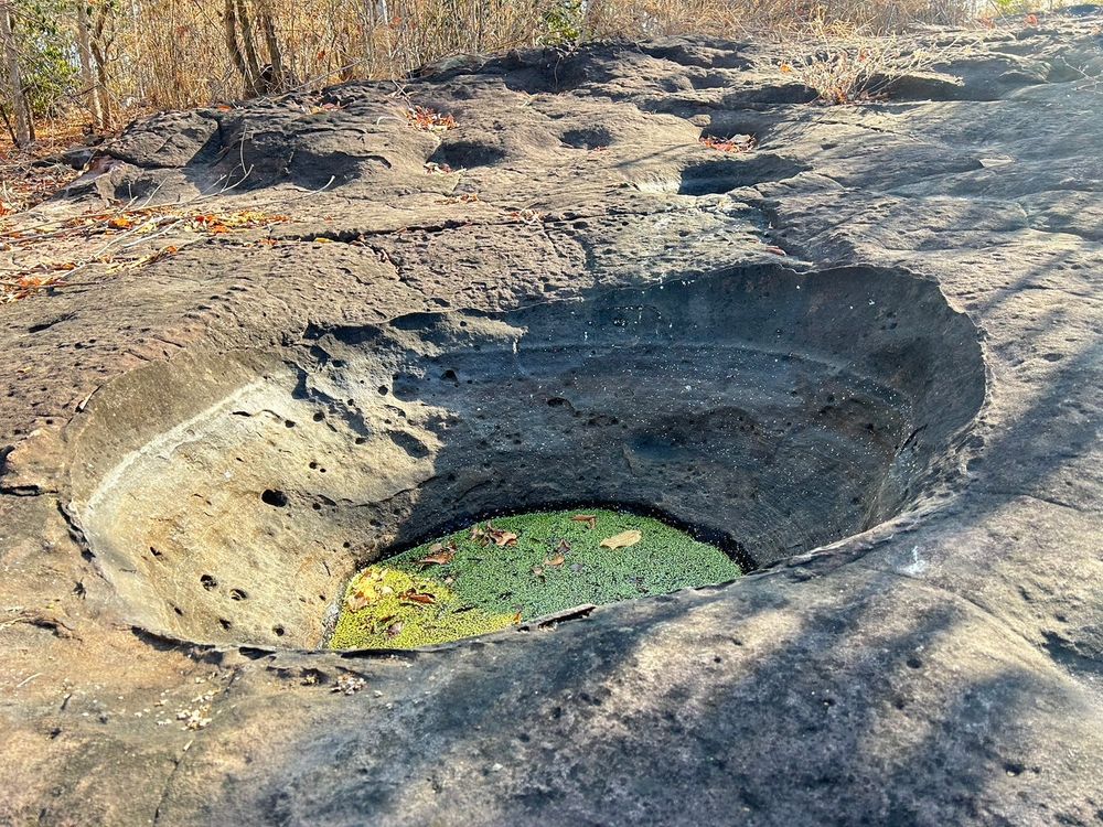
In the past, these natural basins would catch and hold rainwater year-round, serving as a vital water source for villagers foraging in the forest. Today, however, these formations have become a significant asset in transforming Khao Sam Sip Sang into a premier educational site and natural attraction in the Sung Noen District of Nakhon Ratchasima.
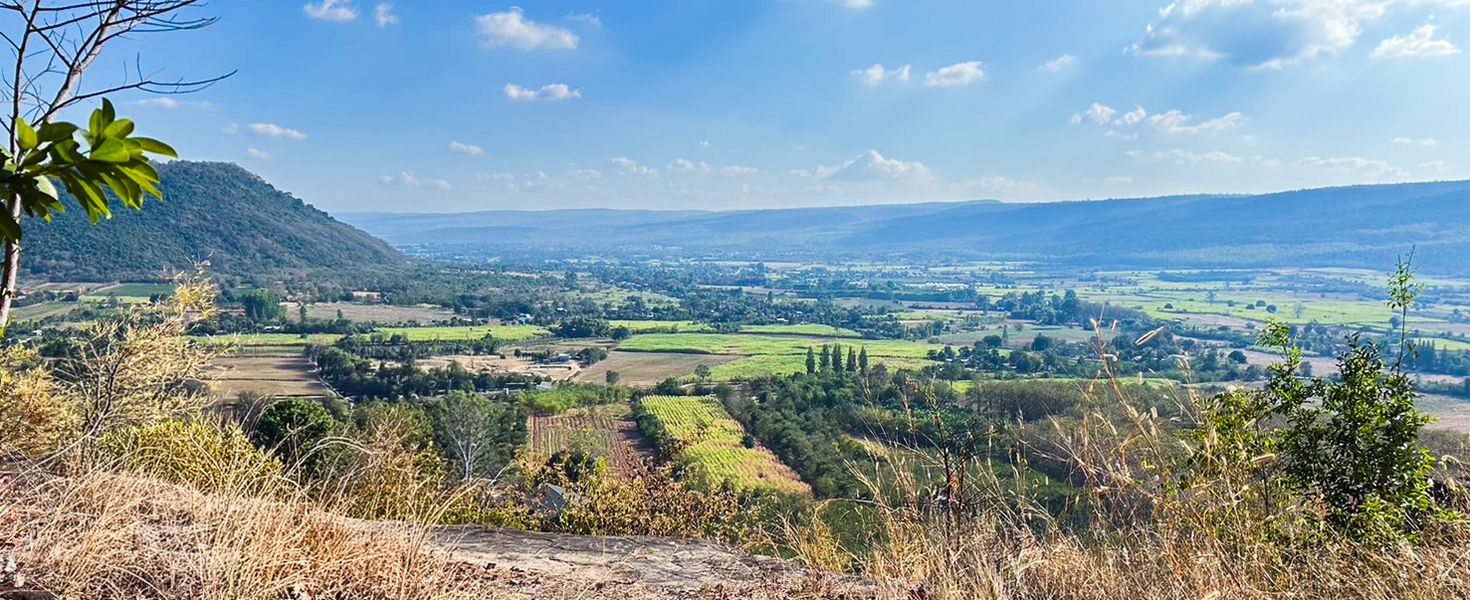
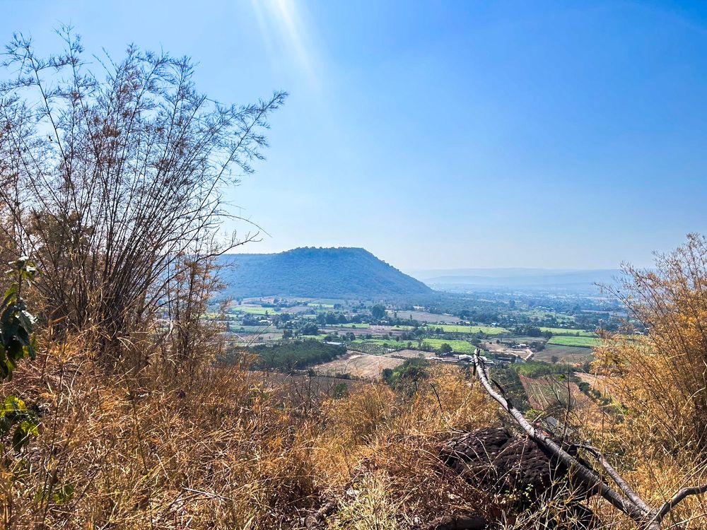
Khao Sam Sip Sang is characterized by a Cuesta landform—a ridge with a steep escarpment on one side and a gentle backslope of about 10 degrees on the other. This specific geological feature is found exclusively along the edge of the Korat Plateau.
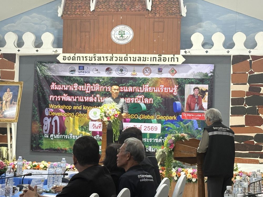
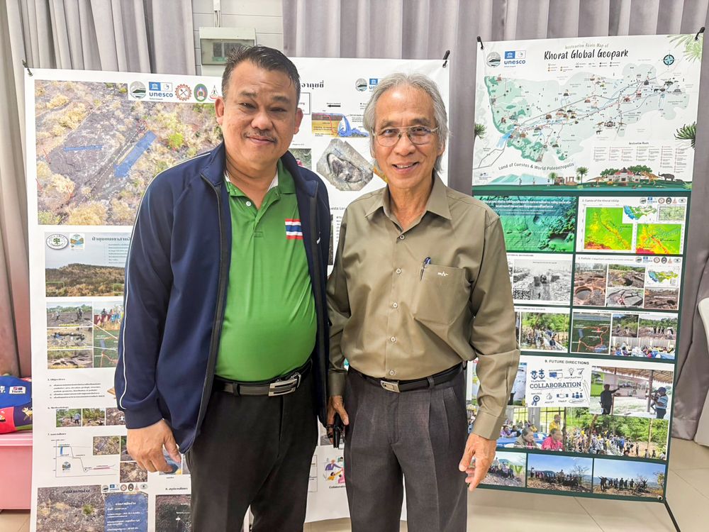
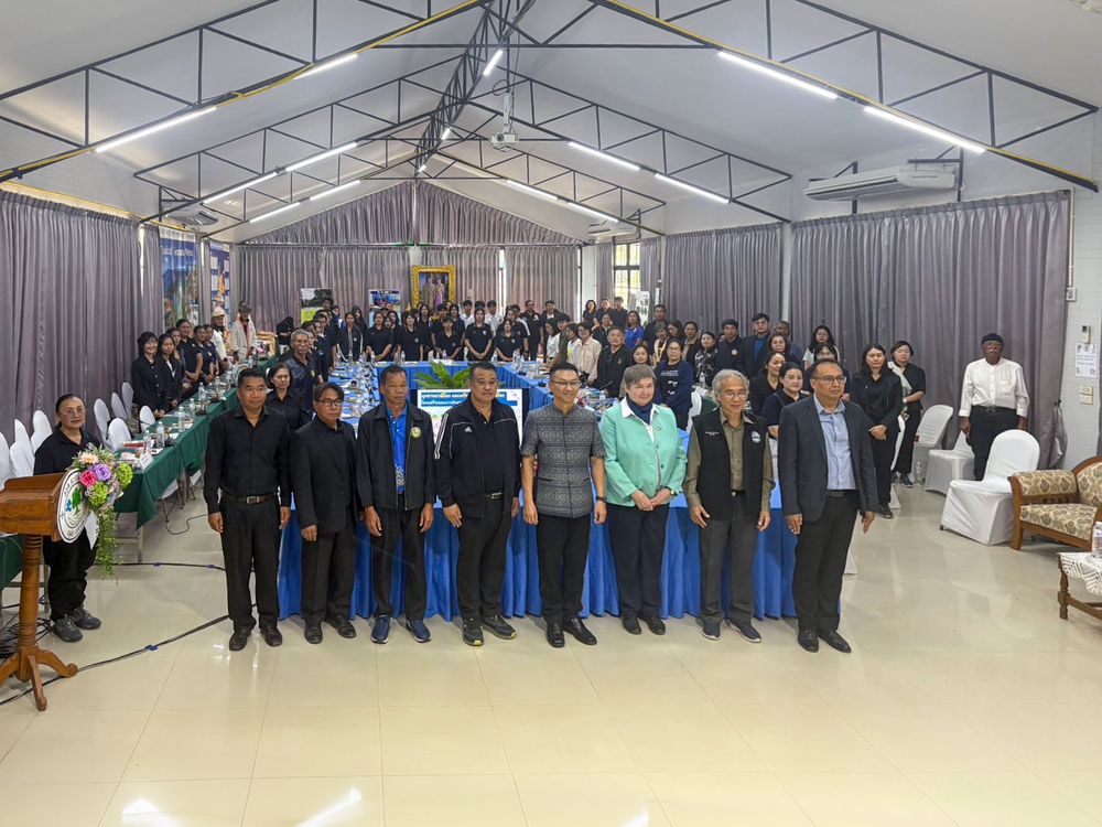
The site recently welcomed Dr. Marie-Luise Frey, an expert and executive member of the Global Geoparks Network, during her visit to Thailand to evaluate the Khon Kaen Geopark for its UNESCO Global Geopark status. If successful, Khon Kaen will become Thailand's third Global Geopark, following Satun and Khorat. Before heading to Khon Kaen, Asst. Prof. Dr. Pratueng Jintasakul, Director of the Khorat UNESCO Global Geopark, invited Dr. Frey to a workshop and knowledge exchange at the Khao Sam Sip Sang Sufficiency Economy Learning Center on February 13-14. The event aimed to foster dialogue between the community and stakeholders involved in local development.
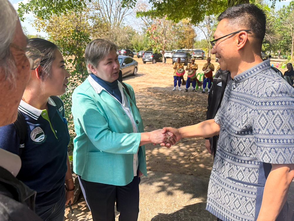
"Khao Sam Sip Sang is a new site that has never been evaluated before, so we took this opportunity to have an expert provide guidance and help prepare the community," explained Asst. Prof. Dr. Pratueng regarding the seminar's objectives.
The allure of Khao Sam Sip Sang lies in its Cuesta topography combined with the potholes on its summit. Typically, potholes in Thailand are formed by powerful river currents, such as those at Sam Phan Bok in Ubon Ratchasima. However, the potholes here are uniquely formed by the impact of raindrops. This force causes the fine-grained sandstone to break apart and erode into small fragments. Over time, rainwater washes these pebbles around, acting as an abrasive that carves deep holes into the rock. This erosion process has created various patterns across the peak, earning them the nickname "Potholes of the Rain."
"These details are incredibly significant for the education of our youth and students, as well as for tourism," the Khorat Geopark Director added. "The summit offers a steep cliff with panoramic views stretching as far as Phu Pha Sung and Phu Luang. Additionally, the area excels in the Sufficiency Economy model, featuring vegetable plots and herbal gardens. We also conserve the Salad Dai (Euphorbia antiquorum), a local cactus-like tree. In terms of travel, it's very accessible—only about 20 kilometers from the center of Sung Noen."
Dr. Marie-Luise Frey shared insights into the structure of the International Geoscience and Geoparks Programme (IGGP), which operates through two main branches: the scientific side and the administrative side. Currently, there are 229 Global Geoparks worldwide, with a high concentration in the Asia-Pacific region, though the goal is to expand more broadly across all continents.
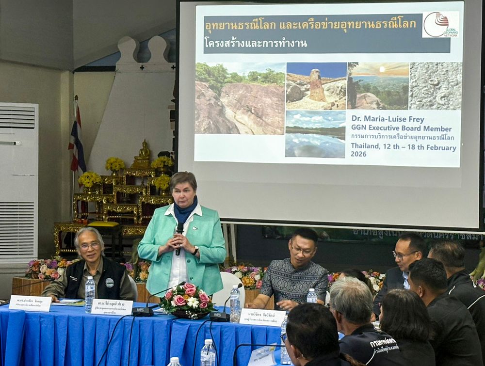
"Gaining membership doesn't mean it's permanent," Dr. Frey noted. "UNESCO re-evaluates the standards of every Global Geopark every two years, so it is a standard we must consistently maintain together."
She further advised that geopark development should never be stagnant. Local teams should exchange knowledge with other parks like Satun or Khon Kaen and utilize social media effectively to build awareness. Crucially, they must be able to explain how local community products are linked to the geopark.
"A geopark is not just about geology; it is an integrated approach," Dr. Frey emphasized. "Every mountain in every country is different. Global Geoparks are about sustainable development, using geological heritage as a foundation to integrate tourism, cultural heritage, and community growth."
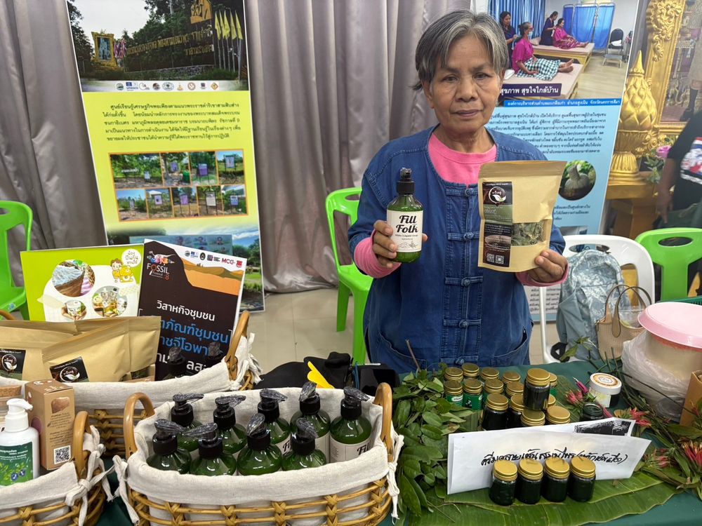
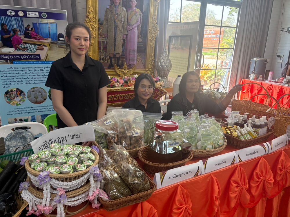
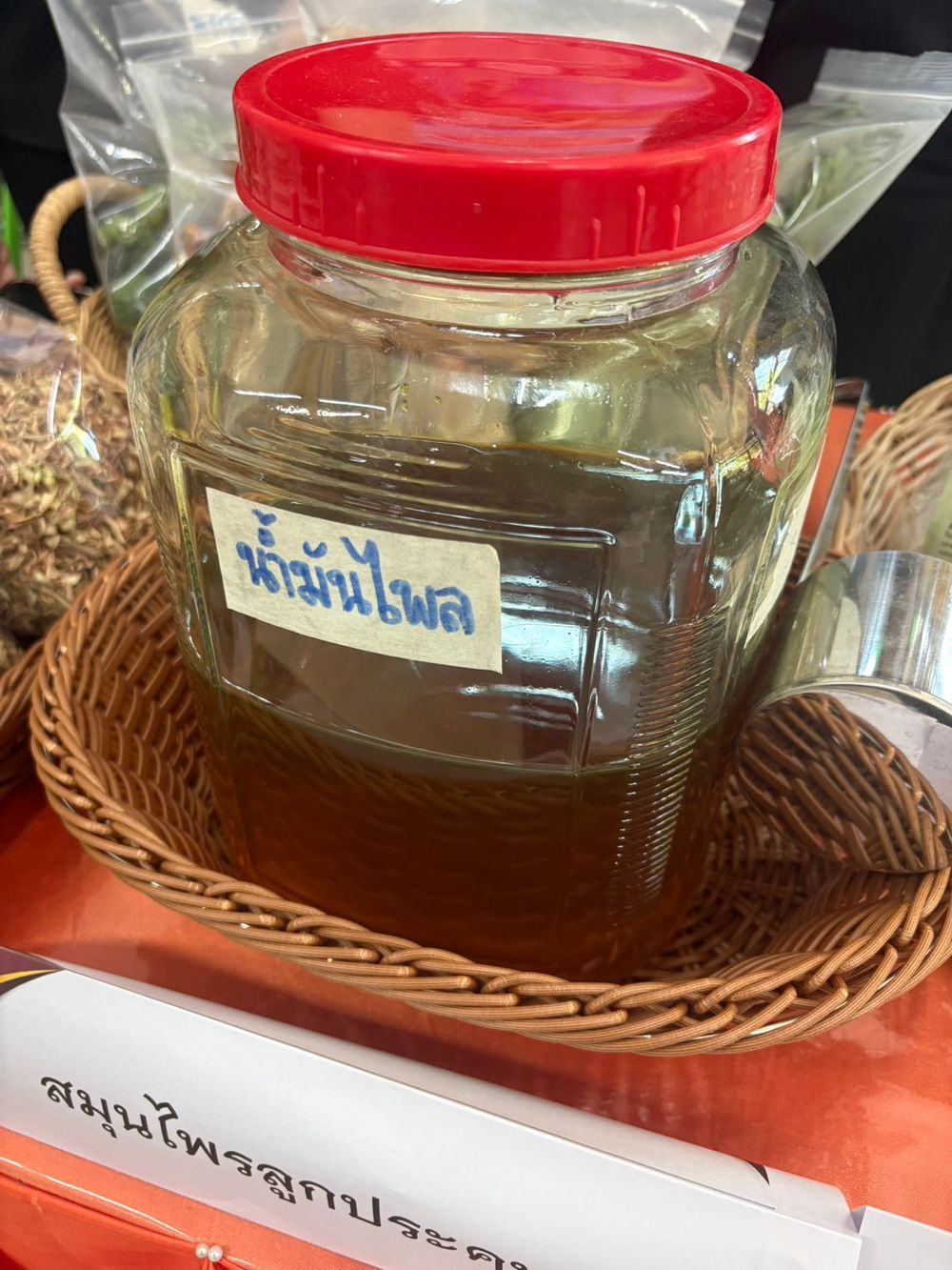
Mr. Ekachai Prompanjai, President of the Mae Klua Kao SAO and founder of the Sufficiency Economy Learning Center, discussed the protection of community heritage through the application of the Sufficiency Economy philosophy. He noted that Khao Sam Sip Sang serves as a "community pantry," providing over 100 types of plants, including bamboo shoots, local vegetables (Phak Wan), and medicinal herbs for the surrounding villages.
"When I first arrived, Khao Sam Sip Sang was almost a degraded forest," Mr. Ekachai recalled. "We began educating people on forest conservation and invited various networks—villagers and the military—to get involved. We started by building check dams. Initially, I wasn't convinced, but once they were built, I saw the benefits after the rain. The water stayed instead of flowing away, and life returned—we saw tens of thousands of tadpoles. It was heartening because it came from a process of public participation. When people participate, they feel a sense of ownership. Now, we see a future for Khao Sam Sip Sang. Moving forward, there must be a learning process. If someone asks what 'Sam Sip Sang' or a 'Cuesta' is, we need to have the answers. Local schools consistently bring children to participate in our activities, whether it's building dams or planting trees."
Regarding tourism, the Mae Klua Kao SAO has been involved from start to finish, developing everything from "check-in" signs to informational markers for the dams and the King’s initiatives. The journey ends at a scenic viewpoint—the highlight of Khao Sam Sip Sang—which offers a stunning vista of multiple Cuesta ridges lined up in succession.
"I am so happy this day has come," Mr. Ekachai said. "I never imagined an expert would sit and listen to us. In the past, I didn't even know the value of the herbs here, let alone the 'Sang' (potholes). I believe knowledge will help our citizens see the value of their own home. We are a rural area with a strength rooted in precious resources. With the support of academics and the Global Geopark team, we intend to spread this knowledge to everyone—from children to community organizations—ensuring Khao Sam Sip Sang thrives as a sustainable learning and tourism destination."
Beyond its stunning natural assets, the true success of the site lies in the local people recognizing the value of their resources. Once they understand it, they will love and protect it, leading to a sustainable conservation effort that will draw visitors from all over.
© 2025 Khaoyai Connect. All rights reserved.
No part of this content may be copied, modified, or distributed in any form without prior written permission.
